Photos of the Day


Stats of the Day
Route: Estella to Los Arcos
Guide Book Distance: 13.1 miles
Distance We Actually Walked Today: 16.67 miles
Highest Point: 2,132
Our Walking Elevation Gain: 21 Flights
Our Accommodations for Evening: Hotel Suetxe (not a Spanish name; maybe be Basque)
Key Words and Phrases to Help Us Distinguish this Day from Others
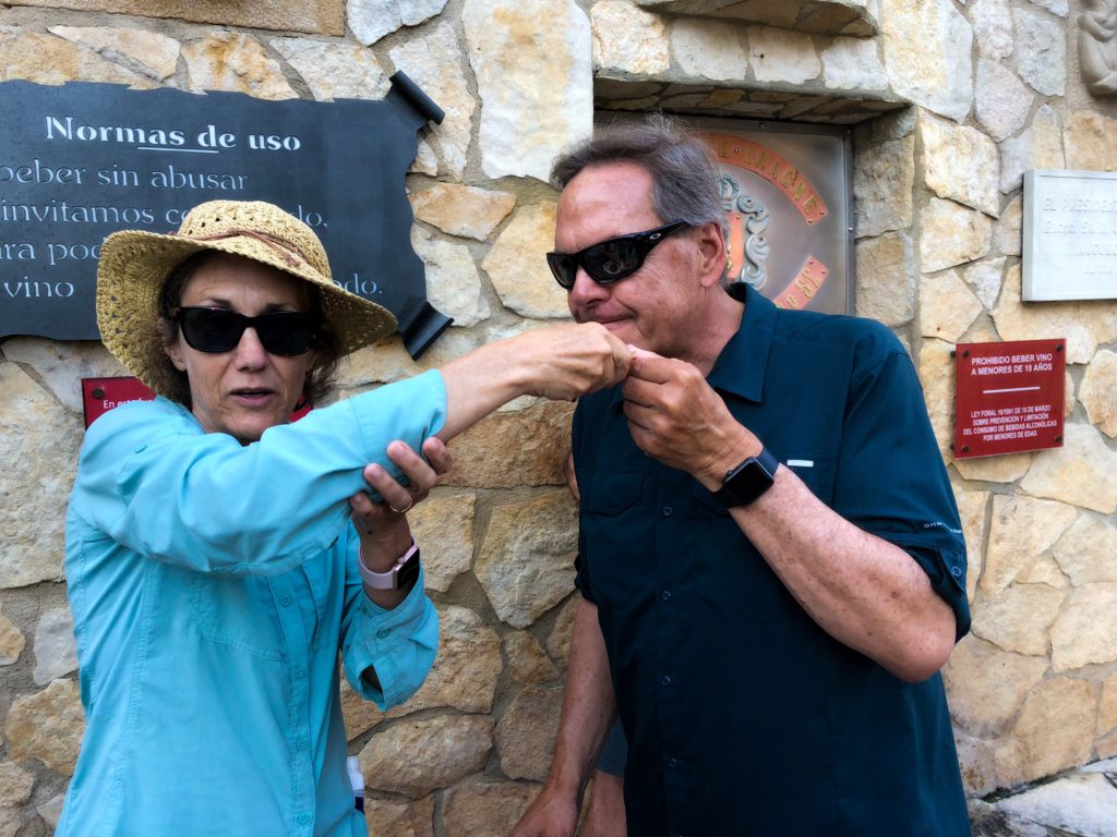
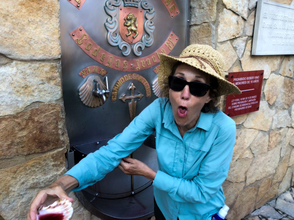
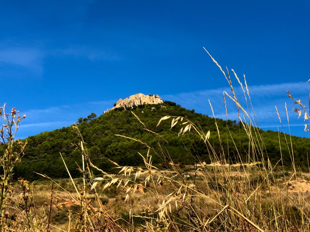
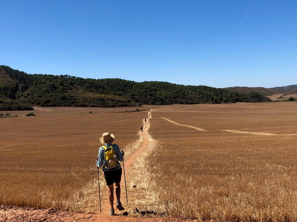
Free wine fountain, weird geology of cliffs, tunnel, canopy of trees, Castile-fortress, San Esteban de Deyo, also called the Castillo de Monjardín; Medieval fountain, Roman foundation, Muslim dynasty conquered by King of Navarre; more ruins of unknown origin, wide open fields, lack of shade, dust, few way stations, agriculture galore, gypsy music, olive groves, hay fields, flying buttress, search for toothpaste and conditioner; narrow streets, chicken stew
What a wonderful journey so far, love following you.
I like keyword “search for toothpaste and conditioner”
Ted and Nancy, I finally caught up with you by reading all past blogs! What a great travel log, pilgrimage log, picture story! Thank you so much for letting others “join” you in this adventure. I am writing on the blog of this day because the picture of Nancy, from the back, facing the long, hot trail stretching to infinity illuminated for me the task you are living every day. I applaud you both and now that I am caught up, will be with you each day in solidarity. Marsha