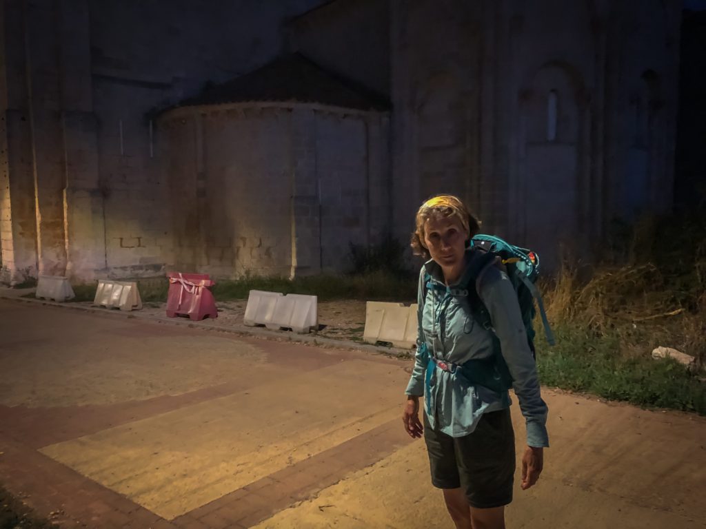
It happened. It was bound to. We got lost.
So proud were we to get off early today. We left before sunrise headed by foot to Burgos, an urban city, leaving from San Juan de Ortega, which is a village with a population of 20. Both are sleeping stops on the Camino de Santiago, the pilgrimage route across Northern Spain.
So tiny is San Juan de Ortega there is just one road in and out of town. We took the road going out, and then commented about the mist and how much difference 10 minutes makes in the amount of light building a new day. Sunflowers filled the landscape.
When we arrived at a crossroads at a small village — Barrios de Colina — we knew something was wrong when no arrows or shells were visible. We had missed a turn.
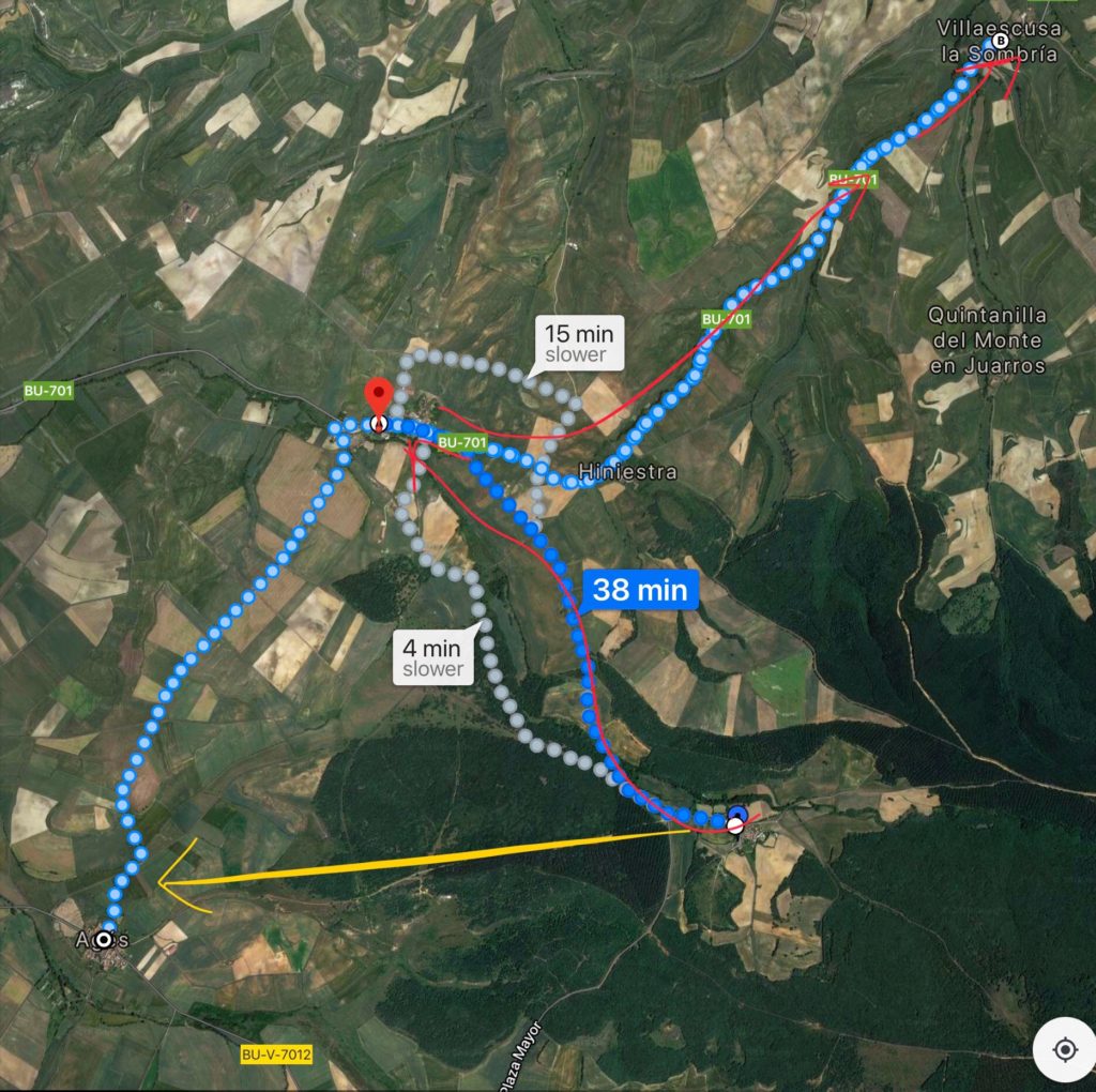
So smart are we that we knew the town of Ages was our destination. Thanks to Apple’s iPhone, we loaded up a map and knew we could take the paved road to Ages and not lose too much time. But the Apple map program was so slow in orienting us that it was near useless. So we asked the driver of a waste truck which direction, “Right or left?”
 He pointed left. He was not necessarily wrong, because it was left, but he failed to mentioned the need to make a turn just a quarter-mile along the way.
Dutifully and undeterred, we walked down provincial route BU-701, a one lane road with two-way traffic. Only seven cars passed us, four were trucks. One was the trash man and he waved happily at us, coming and going as if to say, “Everything is good; Bien Camino.”
Didn’t he know we were on the wrong road to Ages?
So narrow was the road, that I pulled out my orange, Tito Vodka bandana, and tied it to my walking poles. I walked like a flag-bearer in a parade, waving my poles to alert any traffic coming around corners. It seemed like those four trucks were passing us at 50 miles an hour.
One was delivering hay — obviously a regular occurrence because the side of the road was littered with straw, softening our path when there was enough shoulder to walk on.
We finally sighted a building and felt relieved the village of Ages was in sight. But that was a fiction. We had traveled five miles in the opposite direction. No Ages. No yellow direction arrows. No shells in site.
Nancy and I looked for life, but all was quiet in a speck of a village named Villaescusa la Sombria. It was 9:40, two hours since we left San Juan de Ortega. We pressed down the street with hope, finding a tavern with red chairs in front. Surely, we could get help there.
Our hands pressed on the door, but the café was closed. A dog barked. The establishment was not open, so we sat on the sidewalk, and tried Uber: “Sorry, no service is available in this area.”
We Googled “taxi service,” but received links to movie trailers.
The prospect loomed of us having to reverse course for five dangerous miles, only to restart a planned walk of 16 miles for the day.
Our situation was a strange town, a different language, no transportation, no one to talk to, a low phone battery, and a frustration of errors.
 Just then a second-story window opened. A shirtless man looked down. I tried to quote from Google Translate. “We are lost and trying to get to Ages. Do you know how we can find a taxi?”
He said nothing. But I could hear him making noise. It was obvious he was brushing his teeth and starting his day. We started to rise and retrace our steps when the tavern’s window covering drew back, and the door unlocked. Out came the dog. No bark this time, just smells.
There was a lot of gibberish between me and the tavern owner, so he ushered us inside to a wall map. All of the villages on our wayward path were too small to show up on the map to Burgos. I showed him our Google Translate screen, and he understood we wanted to get to Ages.
He called a friend — perhaps a neighbor — whose English consisted of a 100-word vocabulary, but it was obvious the friend was offering to drive us to Ages for fifteen euros. Done deal. And he looked honorable.
When we loaded our packs in his truck, we checked for chain saws and machetes. All seemed well.
We had missed walking in the forest during the dawn, but when offloading in Ages, we found a picturesque small town, enough to make up for the missed forest view. Unfortunately, our spirits were broken: five miles for naught. We were now practically starting from scratch.
Few other pilgrims were on the trail since it was late. And we saw none of our friends the entire day.
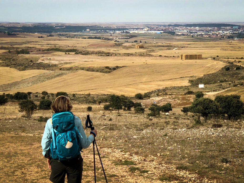
Our legs took us over the rise of a mountain top for a view of Burgos and its sprawling metropolis, then down to a fork in the road. To confuse matters further, the guide book gave three options — three different trails to get to Burgos. At the fork, a sign said the local town fathers were recommending a trail along old mining roads for safety reasons. We chose Door Number Three. We thought we were taking the scenic path along a river, but our choice took us past a quarry, alongside a farm, and along another series of narrow paved streets favored by large trucks, pulling semi-trailers. We never saw the river. Obviously, we were not on the mining roads either.
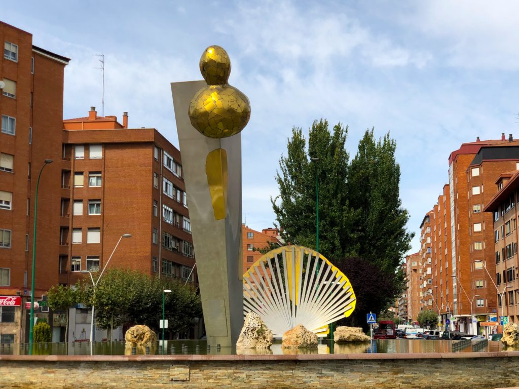
Getting into Burgos seemed to be a path to nowhere. It just went on and on. When we did arrive in the city, we were obedient to the instructions of the yellow arrows — until one told us to cross the street. Then there were no arrows about whether to go straight or right.
A woman with a newborn tied to assist us to get to the cathedral. We were to go right and turn near a kitchen store. It would take about thirty minutes, she said.
 Thirty minutes seemed like a lifetime. We followed her course for a while, but still found no yellow arrows, so we knew her way was not the official Camino path. We took the next obvious solution. Turn left and go back up to the Main Street, where the yellow arrows might be waiting. No such luck.
Out came the iPhone. It was semi-worthless because it was always behind by one to two hundreds yards. Another nice Spaniard saw our trouble, and did the work Apple could not. “Go straight. Turn left.” Now we were on track, but still we were more than a mile and quarter away.
“Two-more roundabouts and then a straight-away,” I told Nancy. “We’re getting there.”
“There’s a taxi,” she said.
Already way beyond our expected 16 miles for the day, we entered the cab and got to our hotel with delightful ease. We felt not the least guilty getting the help, because as the day ended, our total walking distance was 20 miles, 40,077 steps, and eleven flights of elevation.
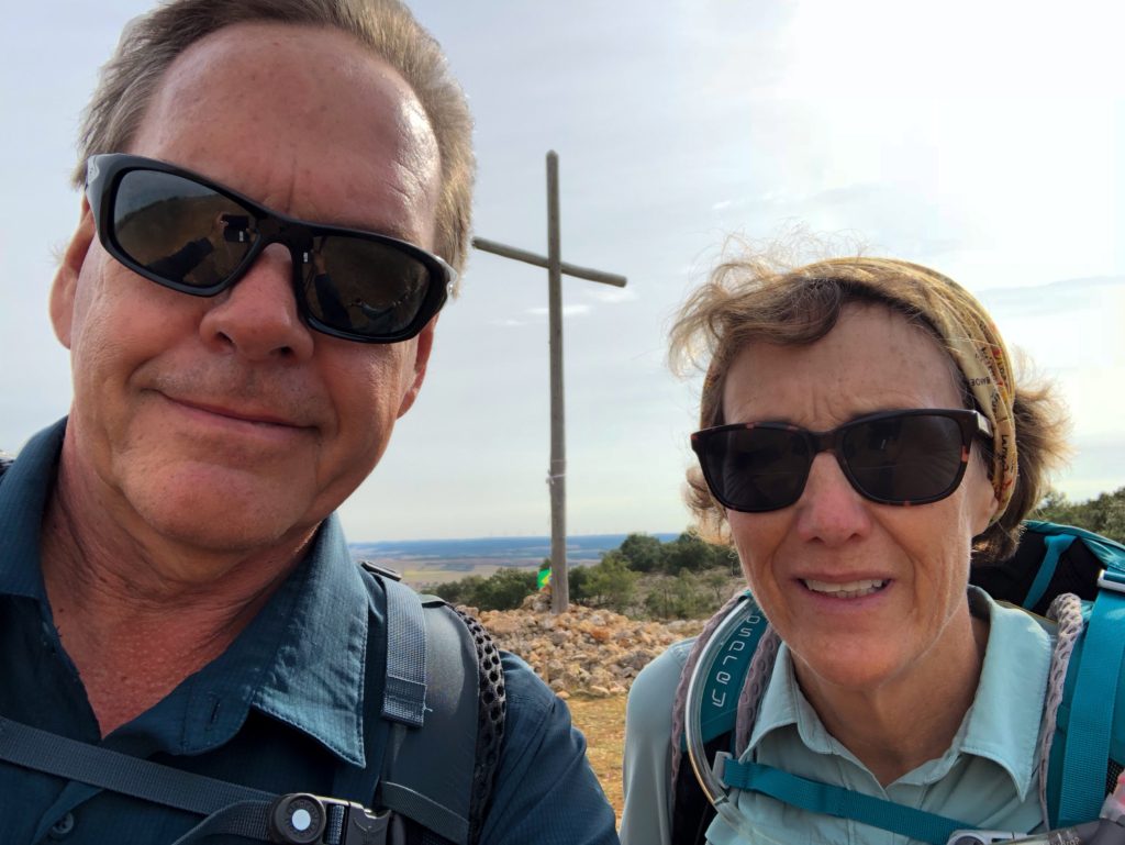
One for the books!